CODE BLUE: Schenectady County has declared Code Blue in effect from Friday, January 17th through Tuesday, January 21st at 7:00 am, as temperatures are forecasted below freezing.   View Code Blue Shelters

Schenectady County Nature Preserves & Bike Trail

Explore the Great Outdoors in Your Own Backyard

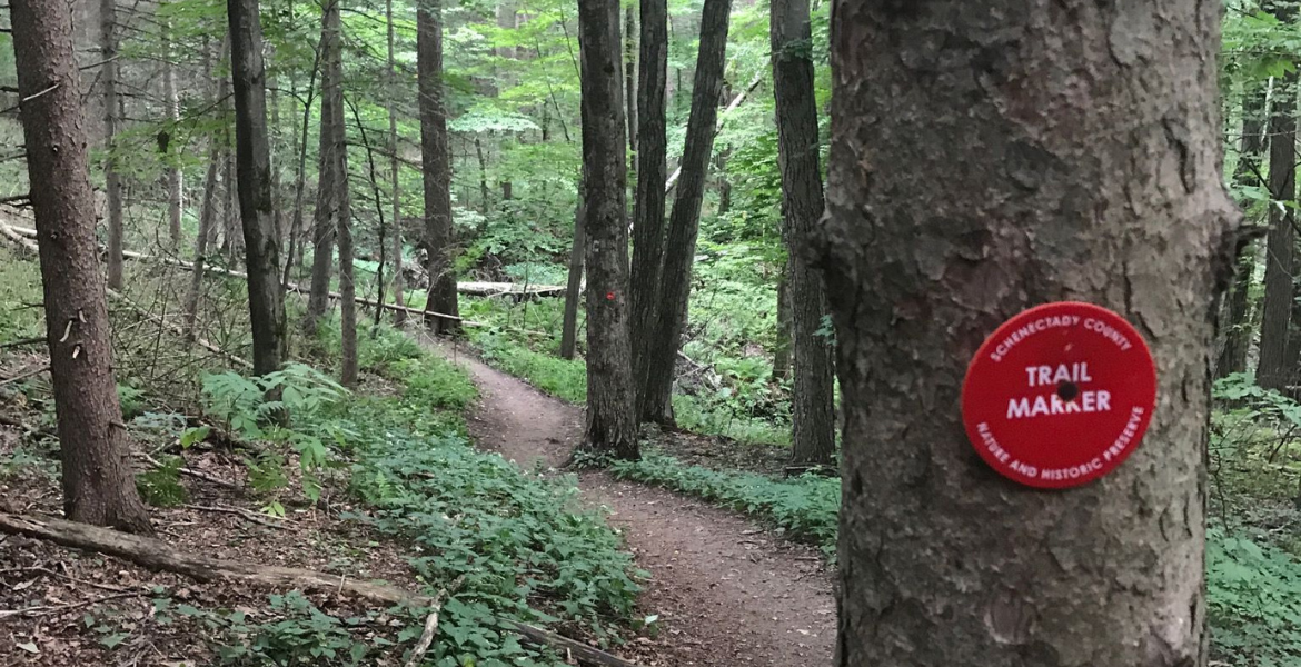
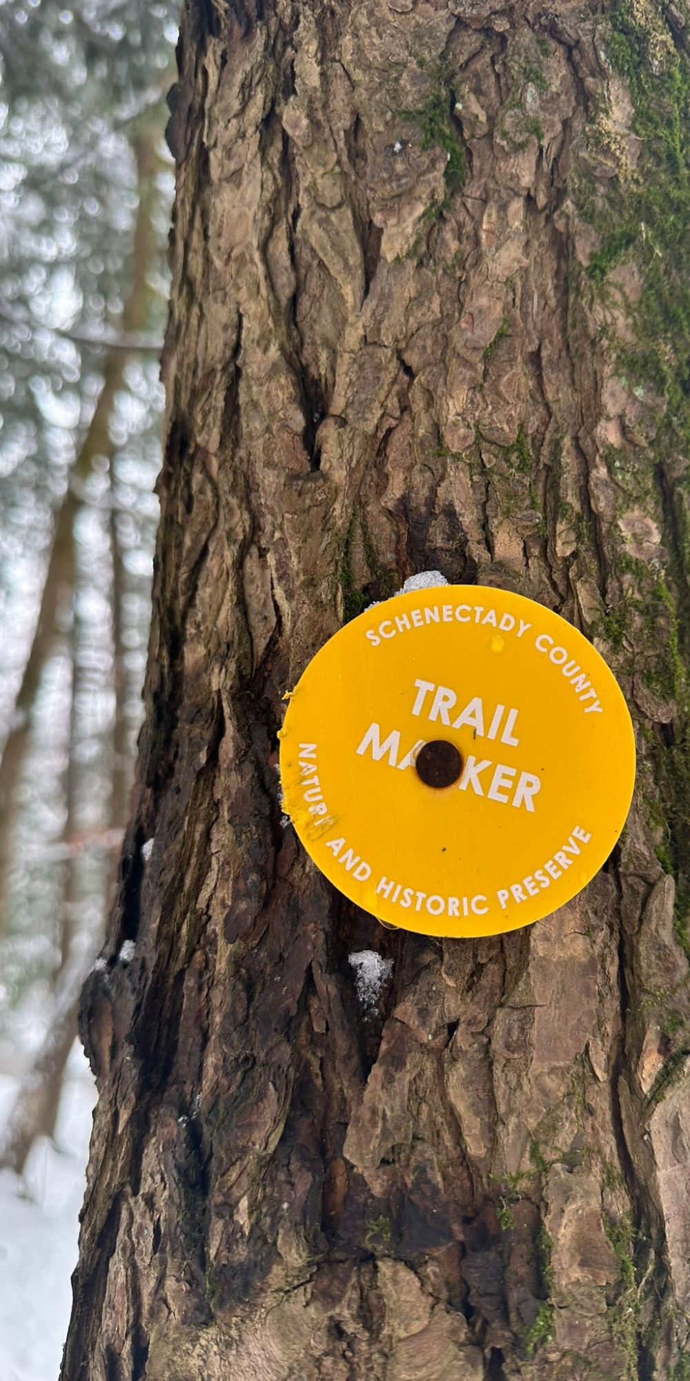
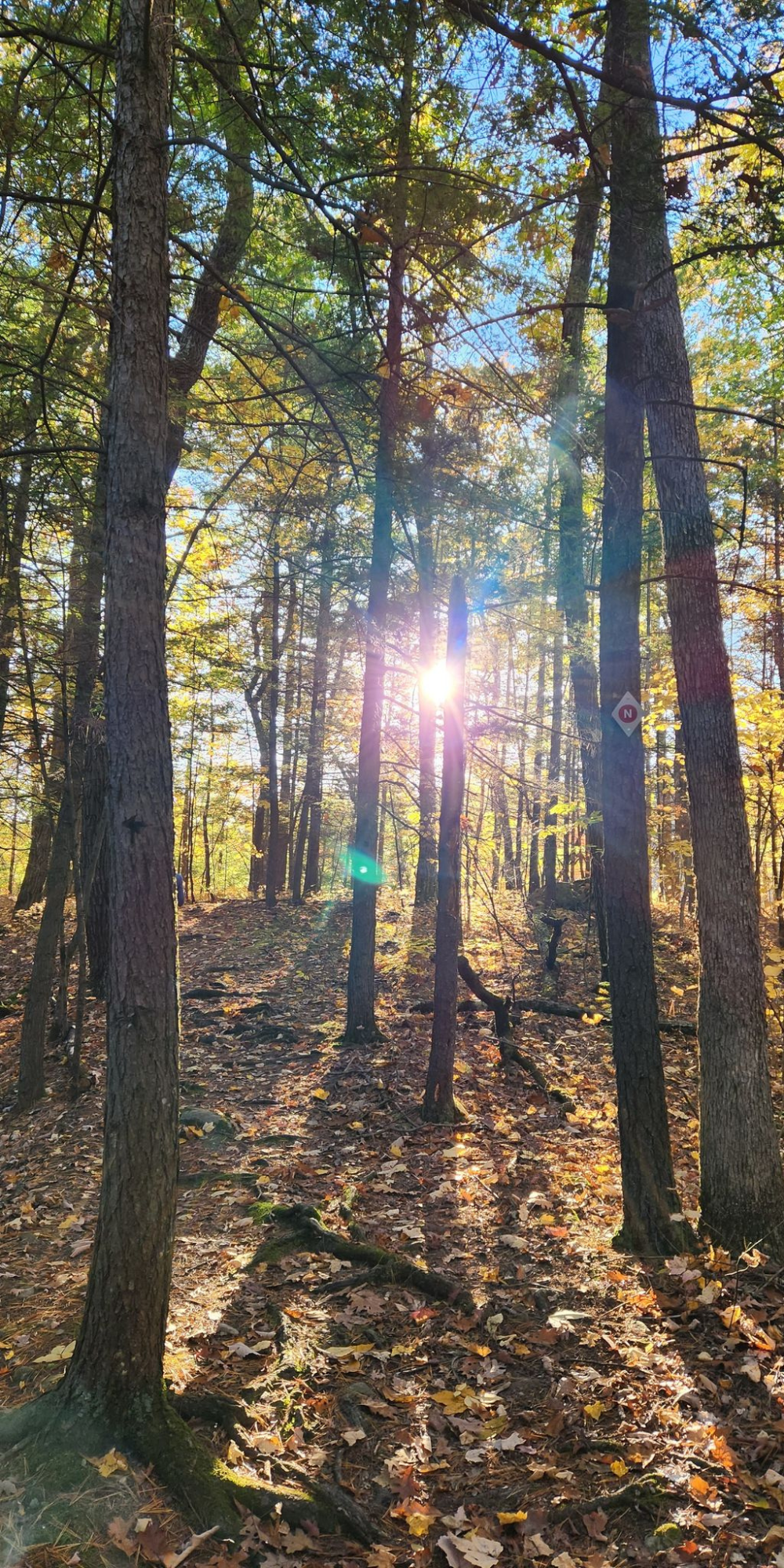
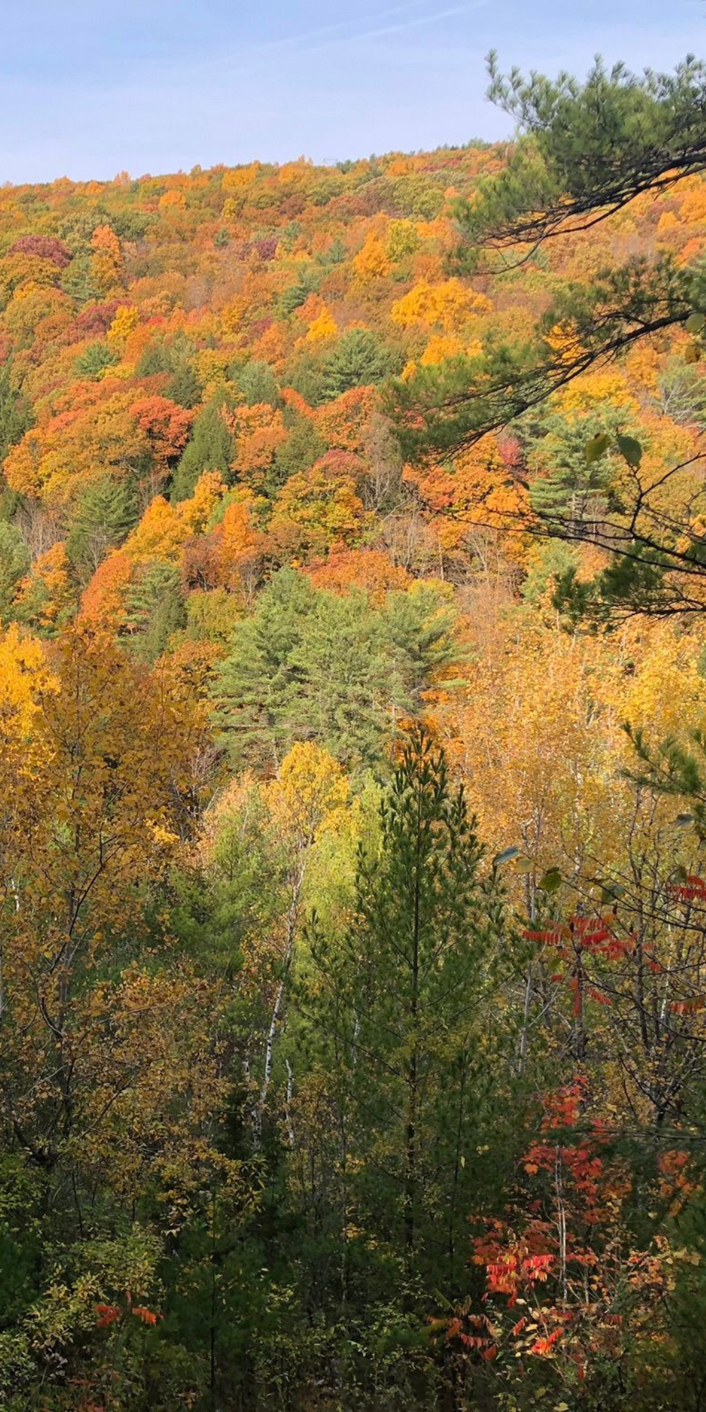
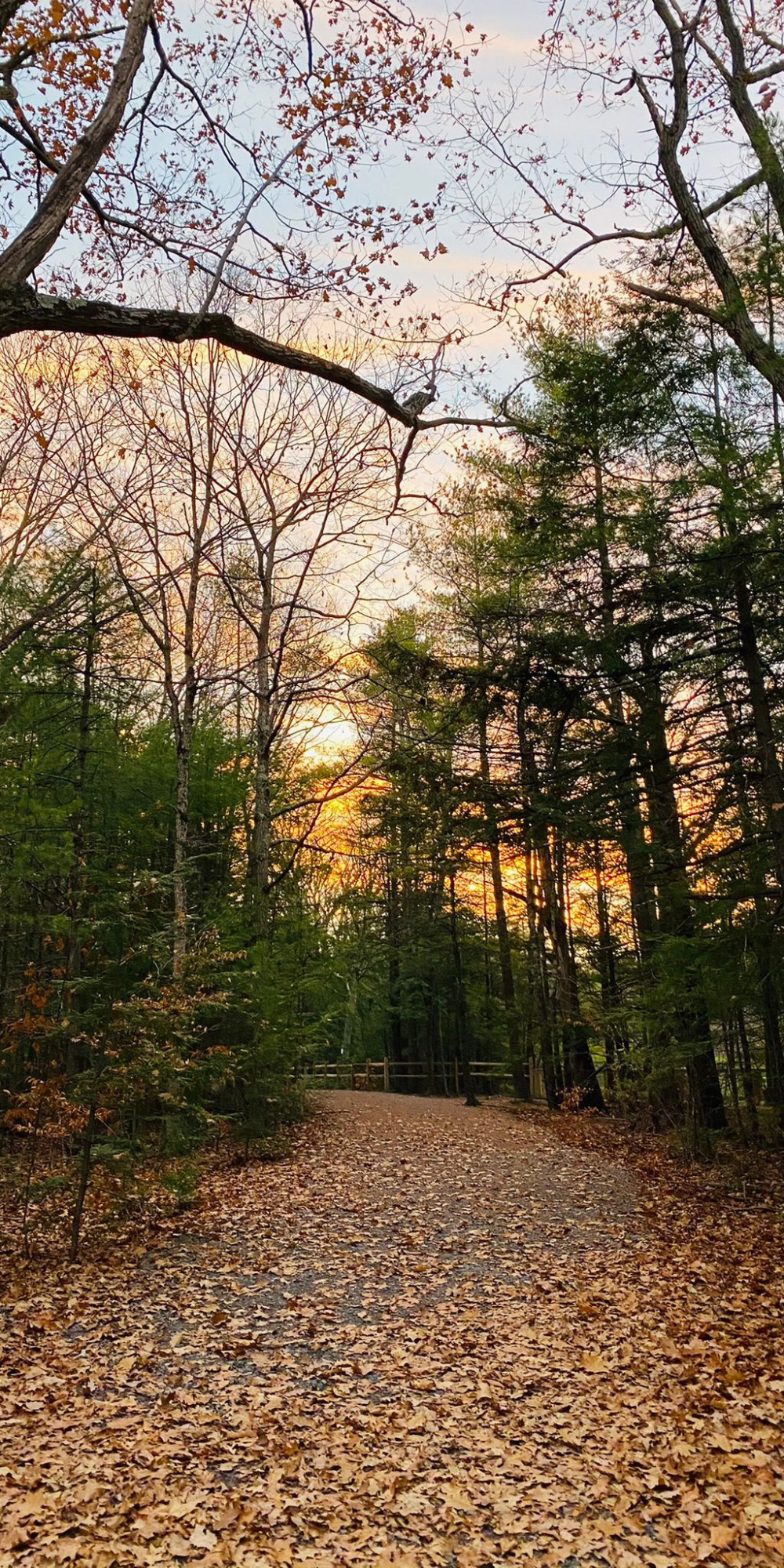
Get some fresh air and hike, bike, cross country ski, or snow shoe over 880 acres of beautifully preserved land right here in Schenectady County. Schenectady County manages three preserves as part of the County's Nature and Historic Preserve System and maintains nine miles of the Mohawk-Hudson Bike Trail in the Town of Rotterdam. 

Expansive Hiking & Stunning Waterfalls

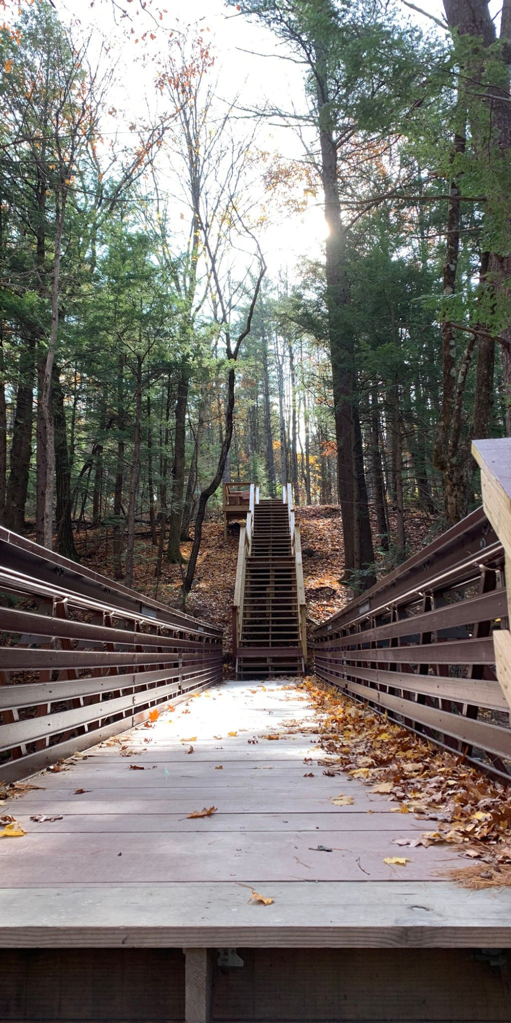
The Plotter Kill Preserve is the largest--encompassing 650 acres in the Town of Rotterdam. With over 7 miles of hiking trails, the Plotter Kill provides expansive hiking opportunities and three spectacular waterfalls.

Expanded Land Preservation

The Indian Kill Preserve was recently expanded and now encompasses 138 acres in Glenville.  In addition to over 2 miles of hiking trails, the preserve provides recreational fishing opportunities and hosts the annual trout fishing derby for County youth. 

Year-Round Fun!

At 104 acres, the County Forest provides hiking and cross-country skiing opportunities.  Abutting the 95-acre Town of Duanesburg Forest Preserve, the two parcels create over 2.75 miles of trails.

The County Forest Preserve

The 104-acre County Forest Preserve, located in Duanesburg, consists of flat to rolling topography providing opportunity for cross-country skiing, snowshoeing, and hiking. Limited hunting is also allowed from November 15 to December 15 (see rules). The land of the Preserve was once farmed in the 18th and 19th centuries.  The stone walls, old foundation and small cemetery in the woods are reminders of the past.  The Preserve abuts the Town of Duanesburg Forest with a connecting trail.

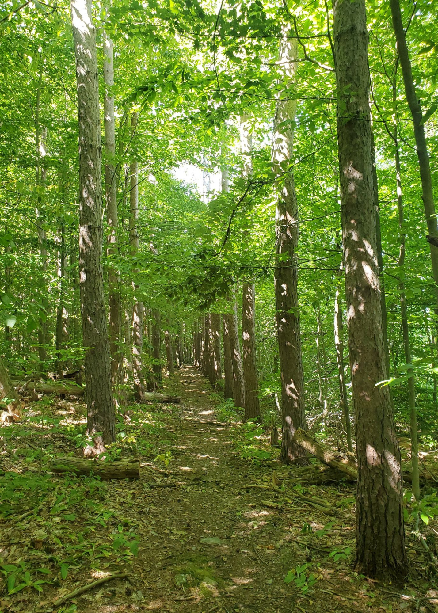
The Preserve is comprised of a number of habitats including, native hardwood forest a red pine plantation and a man-made pond that was dug in 1982.  Many wildflowers bloom in the spring, such as jack-in-the-pulpit, red trillium, and ten fern species. 

The County Forest Preserve is open dawn to dusk.
Carry in/Carry out

Directions to the County Forest

Take I-890 to Campbell Rd (Exit 2a). From Campbell Rd turn right on Putnam Rd, and go 1.7 miles to Rte 159 (Mariaville Rd) Turn right on Rte 159 and go approximately 4.5 miles to the intersection of Rte 159 and Lake Road. Turn left on to Lake Road proceed 4 miles to the entrance of the County Forest parking area.

Download Trail Map                 View Preserve Guide


The Indian Kill Preserve

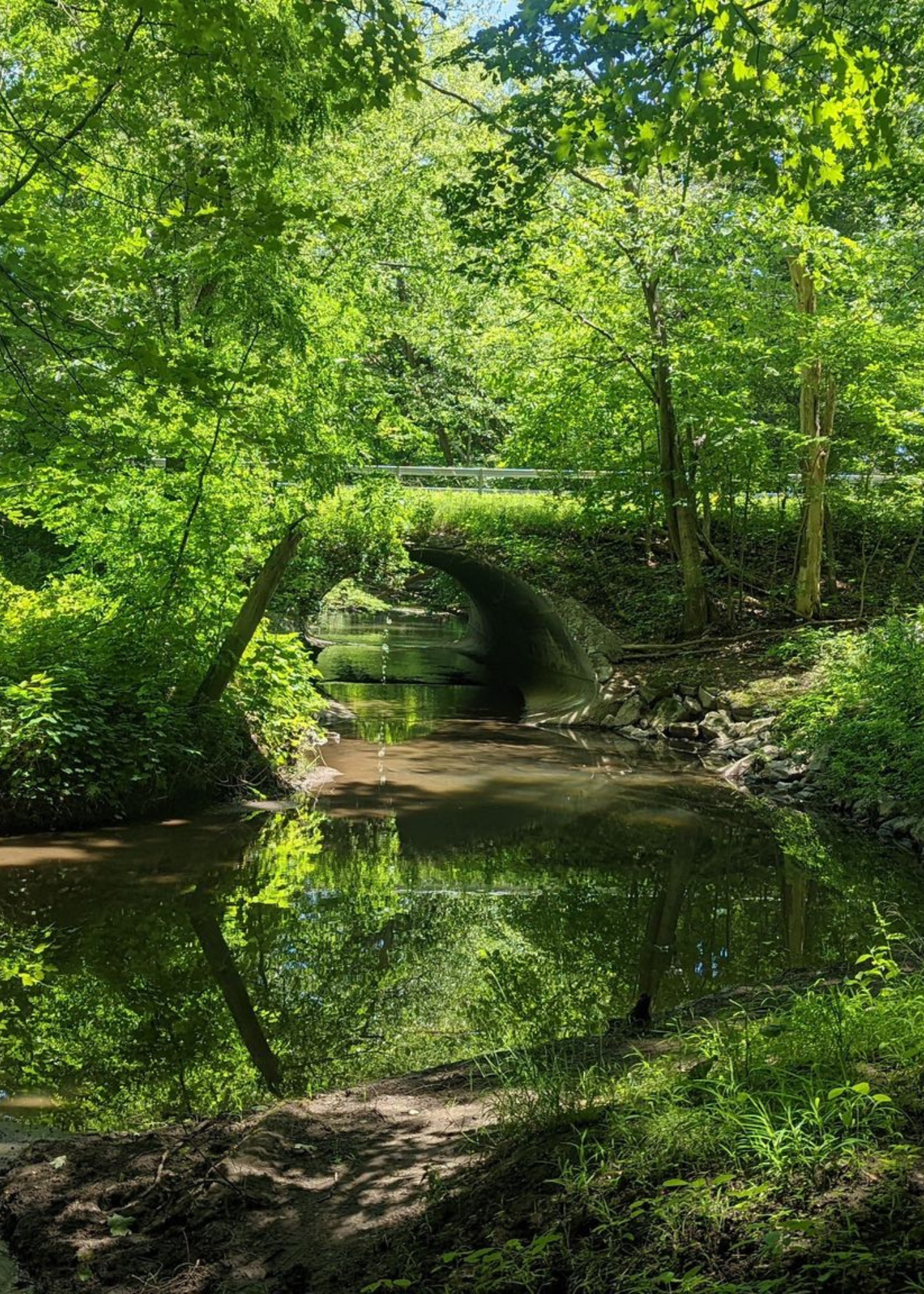
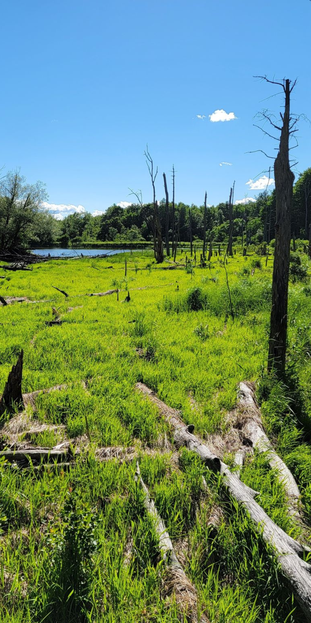
The 138-acre Indian Kill Preserve, located in Glenville, follows the banks and bluffs of the Indian Kill.  The Preserve is comprised of a number of diverse habitats including, native hardwood forest, conifer plantations, and wetlands. The Preserve is an attractive area for hiking, nature study, fishing, and snow-shoeing. 

The Preserve is also a special place for wildflowers in the spring, and a variety of fern species. Hepatica, trout lilies, trillium, cohosh, toothwort, and jack-in-the-pulpits bloom along the stream banks.   Eleven species of ferns grow along the trails, emphasizing the diverse habitats of the area, moist stream banks, wetlands, cool north-facing bluffs and the dry sandy uplands.

The Indian Kill Preserve is open dawn to dusk.
Carry in/Carry out

Directions to the Indian Kill Preserve

Go north on Rte 50 to Glenridge Rd. Turn right on Glenridge Rd. and go 1.3 miles to traffic signal at Maple Ave. Turn left and go .4 miles to parking lot on left at junction of Maple Avenue and Hetcheltown Rd. Parking is on the left.

Download Trail Map                 View Preserve Guide  


The Plotter Kill Preserve

The Plotter Kill Preserve, located in Rotterdam, contains nearly 645 acres of rugged hardwood and coniferous forest along the Plotter Kill, a scenic tributary to the Mohawk River.   The gorge of the Plotter Kill was cut by melt waters at the close of the ice ages about 10,000 years ago.  The ledges give the stream its name: platte (flat) and kill (creek).  Please exercise caution when hiking in the Preserve and stay on marked trails.  The terrain is very rugged with steep slopes and ledges near the trails.

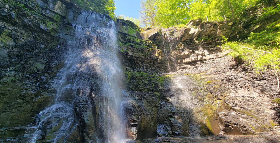
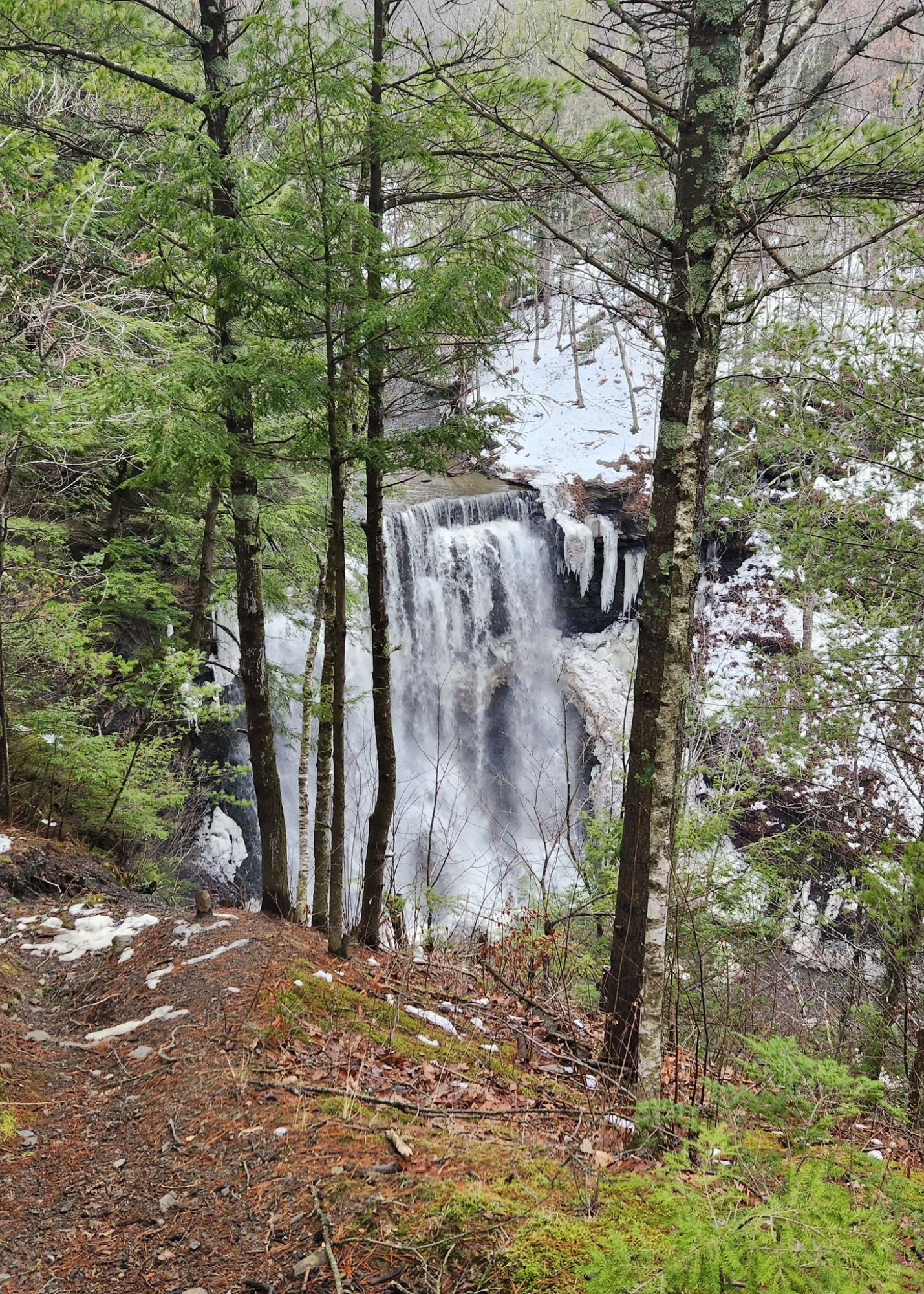
The Plotter Kill drops 900 feet in its 3.5-mile descent from Rynex Corners to the Mohawk River. There are three spectacular waterfalls: the Upper Falls, Lower Falls and the Rynex Creek Falls.  All are magnificent sights in spring high water and in winter ice.  The Upper Falls is 60 feet high, and the others 40 feet.

The Plotter Kill Preserve is wonderful for nature study.  Over 600 species of plants have been found in the area including: trilliums, violets, lilies, ferns and club mosses.   

The Plotter Kill Preserve is open dawn to dusk.
Carry in/Carry out

Directions to the Plotter Kill Preserve

Take I-890 to Campbell Rd (Exit 2a). From Campbell Rd, turn right on Putnam Rd. Go 1.7 miles to State Rt. 159 (Mariaville Rd). Turn right on Rt. 159 and go 1.9 miles to Preserve sign and parking lot on the right. The Coplon Rd entrance is accessible from Mariaville Rd. Lower Gregg Rd. parking is accessible from I-890 to Rotterdam Jct (State Route 5S) approx. .5 miles from Kiwanis Park.

Download Trail Map                          View Preserve Guide  

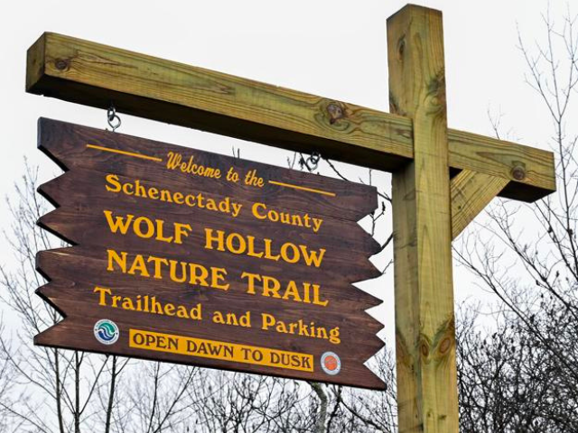
The Wolf Hollow Nature Trail, located in the Town of Glenville, is a nearly mile-long wooded trail on the old Wolf Hollow Road. The scenic trail runs along the Wolf Hollow Gorge and is a historically and geologically significant route accessible to beginner and experienced hikers. 

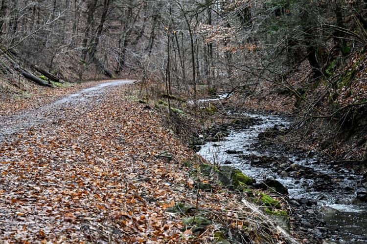
The Wolf Hollow Gorge is a natural wonder and a fault line. The gorge that overlooks the valley of the Mohawk River was created hundreds of millions of years ago by the same shifting plates that formed the Appalachian Mountains. A stroll along the nature trail and its 100ft cliffs will unfold an exhibit of Limestone and Dolemite, and the surrounding woodlands are home to plant life only found in this area. Running parallel to the gorge, you'll find the Chaughtanooda Kill trickling and weaving through the landscape. 

The trail is also the site of a consequential battle between the Mohawk and Algonquin Tribes. In 1669, Mohawk Tribes ambushed the invading Mohicans in a decisive battle for the Mohawk that solidified the Iroquois Confederacy's control of the Mohawk River. Two years before the ambush, St. Kateri Tekakwitha, daughter of Kenneronkwa, a Mohawk chief, and Kahenta, an Algonquin woman, left her home village in Auriesville, NY and traveled north through Wolf Hollow to a Jesuit mission south of Montreal. 

Directions to the Wolf Hollow Nature Trail

Take I-890 west to State Rt. 5. Turn left onto State T. 5/Amsterdam Rd. Go 4.8 miles  and turn right onto Wolf Hollow Rd. In .6 miles continue onto Hoffman's Hill Rd. Go 1.1 miles to the Wolf Hollow Nature Trailhead Parking Lot.

The Empire State Trail

The Empire State Trail

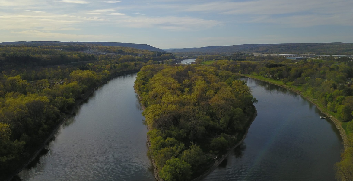
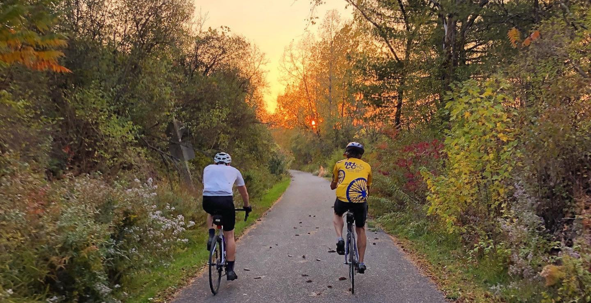
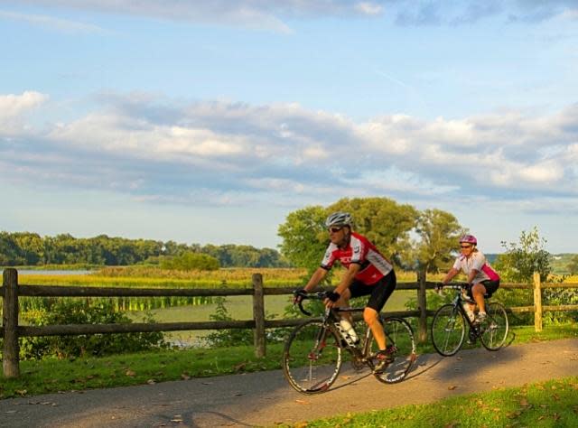
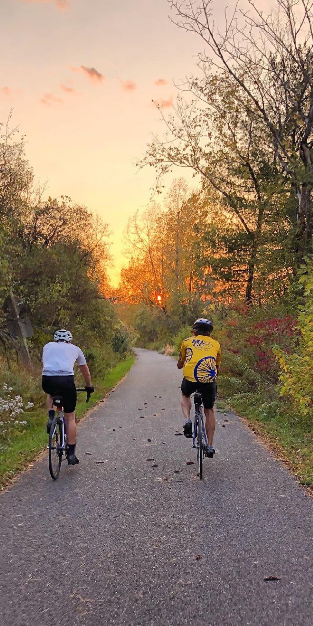
Take in scenic views of the Mohawk River, visit historic sites, and rediscover the Erie Canal's storied past on the Empire State Trail.  The 750-mile trail runs along the old Canalway trail and towpaths connecting Schenectady County to Buffalo, Albany, the Champlain Valley, and New York City. 

The trail welcomes bicyclists and walkers of all ages and abilities to explore Schenectady County's bustling downtowns, beautiful rural vistas, remnants of the old Erie Canal, and the natural charm of the Mohawk River Valley.  Schenectady County maintains 9-miles of the Empire State Trail in the Town of Rotterdam. 

Plan Your Ride

Photo Credit: Jacob Mosser

Answer the Call!

Nature includes us. Volunteer today and become a steward of the Schenectady County Preserves.

Schenectady County Soil and Water Conservation provides maintenance for the three preserves and the bike trail. Volunteer opportunities are available for those wishing to assist with trail maintenance and cleanup opportunities. Interested individuals can fill out the stewardship volunteer form.

Apply Now